
Trace Athens Streets by Address
The useful question is not simply who is on an Athens street. It is which official or historical record connects a particular address to a parcel, a recorded owner, a listed adult, a voter registration record, or a city project. Start with the address as written, including any directional word and street suffix. Then keep the parcel and legal description with each result. That record trail avoids treating a mailing address as a residence claim or a recorded owner as every person at the property.
- Enter the house number and street, owner name, or parcel in the Athens County Auditor property search. Retain the exact situs address, parcel identifier, legal description, and owner information displayed for the selected parcel.
- Open the related tax-map context through the Auditor GIS resources. Use the plat or survey context to distinguish the parcel from nearby lots before following a title record.
- Search the Recorder AVA index by address, parcel, legal description, or party. Save the document number, book and page, recorded date, document type, and party role before moving backward.
- If an address-oriented registration record is relevant, create an Athens County Voter Reporting result with its date, filters, and Walking List sort noted. It is a report of registered voters, not a complete street roster.
- For a past address question, compare a dated directory line or Sanborn sheet with the parcel and instrument trail. The separate Athens city directory collections provide the historical editions themselves.
Note: Preserve each document number and parcel key, because nearby house numbers can sit on different lots with separate title histories.
Athens Parcel Records and GIS
The Auditor’s public query combines Parcel, Owner, House# and St Name in one control. Its property material can supply value, acreage, building size and characteristics, construction details, current tax information, and tax history. Those are property-system facts, not a list of everyone at an address. A parcel is the property identifier used to connect a location to tax and legal records. The situs address locates that parcel. An owner mailing address, where the live card displays one, is a tax-correspondence destination and may be elsewhere.
Use Athens County Auditor GIS to place the parcel among current and historic tax plats, surveys, railroad surveys, subdivisions, and related map resources. A plat is a map that depicts lots or subdivisions. The GIS materials help compare adjoining parcel labels and older legal context, but their official disclaimer says boundaries are maintained for tax purposes and are approximate. A deed controls recorded boundary language, and a surveyor verifies a property line.
- Parcel
- An Athens property identifier that links an address to the tax and legal record trail.
- Situs address
- The physical location of an Athens parcel in the property system, not a list of people at that location.
- Plat
- A map of lots, subdivisions, or related land context that helps place an Athens legal description.
- Criss-cross directory
- A directory arranged by address rather than name. No confirmed Athens reverse-directory year run was published in the sources inspected.
The Auditor’s dated posts also report current property-system changes. In August 2026, the office announced preliminary values from its reappraisal. A changed value does not by itself show a transfer, a recorded deed, or a change in the people connected to an address.
The Auditor’s published posts show how property and imagery notices appear to the public.
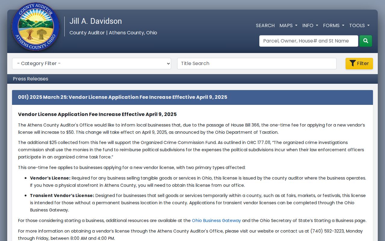
Use an update as a prompt to check the live parcel record, not as a substitute for the parcel’s legal or ownership history.
Athens AVA Address Records
The Athens County Recorder AVA search is the recorded-document route for an address search. Its People tab accepts last or business name and first name, while its date and document controls accept start and end dates, document number, document type, book and page, and reference number. The Address tab has House No, Street, City, and Zipcode fields. When a street search is thin, the legal tabs offer parcel, subdivision, lot, block, municipality, and tract routes.
| AVA field group | How it narrows a record | Useful Athens detail |
|---|---|---|
| People | Last or business name with first name | Find a known recorded party. |
| Date and document | Date range, document number, type, book/page | Return to a known instrument or interval. |
| Address | House No, Street, City, Zipcode | Search address data when it was recorded. |
| Legal description | Parcel, subdivision, municipality, or tract | Continue when address wording has changed. |
A result can show document number, document type, recorded date, Party1, Party2, legal information, and sometimes book/page or reference number. Expanded detail may add the document date, party roles, address or parcel information, related documents, and recorded consideration. The Recorder says documents may be viewed and printed through AVA at no cost, but access messages on a particular record control what can be seen. The office’s real-property records and alphabetical indexes reach from 1790 to the present; it does not publish a separate web-start year.
The Recorder AVA interface is the source for the address, party, and legal-description search paths.
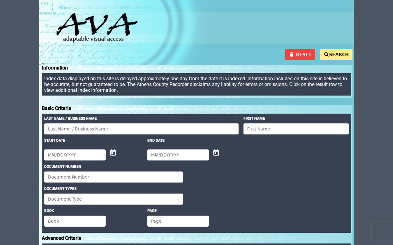
Record the document number and party roles from a result before using the prior grantor or legal description to continue the title chain.
Athens Street Records Compared
Address records do not all answer the same question. The table separates Athens sources so a property lead is not mistaken for a current household claim. A recorded owner, a registered voter, a directory listing, and a permit applicant are distinct record roles. The same address can lead to more than one of them, but the labels should remain attached to the source.
| Address route | Local keeper | Evidence to retain | Boundary |
|---|---|---|---|
| Athens parcel record | Athens County Auditor | Parcel, situs, legal description, displayed owner | Does not establish all occupants. |
| Athens tax plat or survey | Athens County Auditor GIS | Parcel outline, adjoining parcels, plat name | Approximate tax-map boundaries. |
| Athens recorded instrument | Athens Recorder AVA or counter | Document no., parties, date, book/page, legal text | Does not establish current occupancy. |
| Athens Walking List report | Athens Board of Elections | Report date, public filters, address sort | Registered voters only, with protections. |
| Athens permit or code file | Athens City Code Enforcement | Address, file type, date, public project material | Does not prove who lived there. |
| Athens dated directory or map | Athens library and archives | Year, page or sheet, spelling, listed address | Not a current record. |
For an older street or a changing number, use the legal description as the continuity key. Athens records may use city, county, township, vicinity, rural-delivery, or present postal language. A street name alone can be too broad, while a legal description and an exact map year give a more stable comparison.
Athens Voter Street Records
The Athens County Voter Reporting interface has a Walking List sort by voter address and a Precinct, Walking List option. It can produce PDF labels, a PDF report, a downloadable CSV, or a statistical report. The form also offers election, party, precinct, district, sort, household, voter-district, voting-history, and mailing-address options. Its public utility is precise: it can organize a registration report by voter address, not prove that every person on a street is registered or identify every person in a household.
Ohio Revised Code 3503.13 makes registration information public subject to exclusions for identifiers such as Social Security and driver information, phone numbers, email, confidential records, and qualifying redacted addresses. Safe at Home participants are absent from public voter lists under ORC 111.44. A blank result may reflect non-registration or a protection. It is not evidence that a person has left Athens.
Note: Treat the report date and filters as part of the record, because its count and available registration information can change.
Athens Permit Records by Address
City Code Enforcement is the address-file route when the question concerns a specific project rather than ownership or residency. Its public categories include zoning review, alterations and new construction, demolition, flood hazard, land development, signs, subdivisions, stormwater, site plans, curb or sidewalk openings, and historic-preservation submissions. Make the request with the exact address, a date range, the type of project, and the department most likely to hold the existing record. No public online address-search database for Athens code files was verified.
The City’s zoning-review and permits page identifies the application categories and its Code Enforcement route. A permit can date planned or approved work. It can also identify public application material. It does not prove a project was completed or identify everyone who used the property.
The zoning and permit source is where Athens publishes those address-linked application categories.
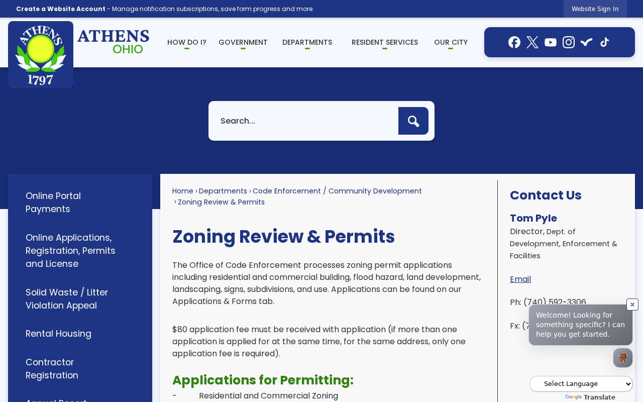
For a record that is not online, the City’s public-records process is the fallback for an existing named file rather than a request for newly created research.
Athens Code Enforcement publishes its contact and department context for property-related files.
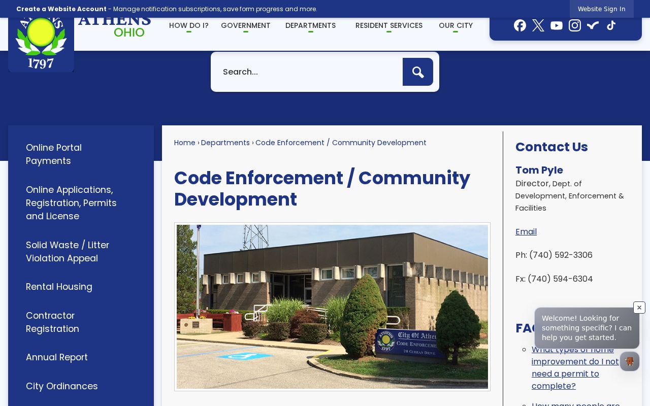
Give the office the address and approximate dates, then let the custodian identify the existing permit or code record that can be released.
Athens Street History on Maps
Athens has a useful physical-history stack. Ohio University’s 2025 Sanborn work verifies Athens map editions for 1885, 1890, 1895, 1900, 1907, 1914, and 1923, while the Ohio Web Library viewer identifies 1923 to April 1948 mapping. Search a Sanborn map by street address, intersection, addition, or subdivision. A sheet can show building footprint, material, use, and street layout. It cannot name a person who lived there.
The local 1927 and 1932 directories offer a separate dated listing layer, including city, vicinity, and rural-delivery wording. Search OCR, then inspect the scan before copying a name, street, spouse notation, or occupation. When an old address conflicts with a current label, compare the plat, map sheet, legal description, landmarks, and the spelling used in the historical source. No verified citywide street-renumbering year or master renaming list was located.
Athens City Maps and GIS provides city-limit, zoning, ward, historic-district, and buffer map context.
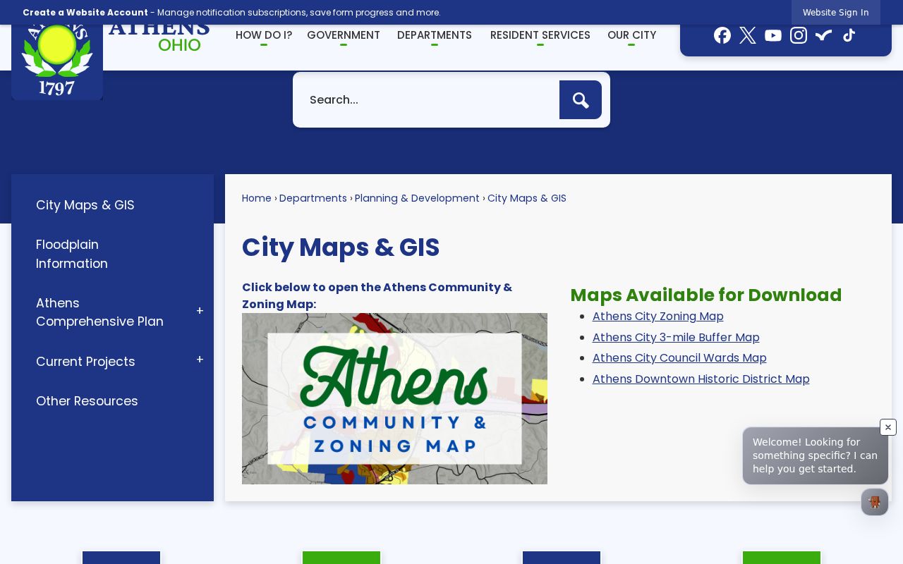
City maps help test municipal context, while the county parcel and recorded-deed records remain the better sources for the property trail.
Athens Address Record Identities
One Athens location can carry several labels at once. The situs address identifies the physical parcel in the property system. A mailing address identifies where tax correspondence goes. The legal description identifies land in a recorded instrument. A ZIP identifies mail geography, and a precinct identifies an election district. Those labels may overlap, but they are not interchangeable.
Use an exact-address sequence when the city boundary matters: preserve the written address, verify delivery format with USPS, compare the City map, identify the parcel and tax geography through the Auditor, then search AVA by address or legal clue. Athens uses 45701 for the City, county offices, courts, and campus contacts, but a postal label does not draw the City limit. Do not add Albany’s 45710 as City of Athens street coverage without an exact official result.
Note: Match a record to the field it actually uses, especially when historic vicinity or rural-delivery wording does not fit a current ZIP.
Athens Property Record Changes
The Athens County Auditor announced preliminary property values from the 2026 reappraisal in August 2026. That notice is useful context when an address record shows a new value, but it has a narrow meaning. Reappraisal can change the value displayed for a parcel without a sale, a deed, a new household, or a defect in the parcel’s legal identity. Compare the parcel’s transfer history and recorded instruments before treating a value change as an ownership event.
For a street-by-street review, keep the valuation date separate from the recorded date on a deed and the publication date on a historical directory. Athens property sources become more reliable when those dates are kept as separate facts instead of being turned into one timeline.
Limits of Athens Street Directories
An Athens address search cannot supply a complete live roster. Parcel and deed records identify property and recorded parties. A voter report identifies public registration information subject to exclusions. A historic directory identifies a dated printed listing. Utility accounts, motor-vehicle personal data, protected court material, Safe at Home records, and information about people not indexed in a public record are not shortcuts around those limits.
Lawful use. Athens address records support personal, lawful research such as family or property history. Do not use a name, address, or report to stalk, harass, intimidate, or harm anyone.
A search result is strongest when it keeps the source, date, and record role visible. If the goal becomes the history of one house rather than a whole street, the Athens previous residents record trail follows that address backward through time.