
Athens Neighbors by Block
Official Athens sources describe parcels, recorded instruments, voter-registration records, mapped jurisdiction, and public community activity. They do not create a complete neighbor roster. The useful question is narrower: what does each source say about the parcels immediately around an address? Start with the Auditor and GIS for parcel context, use Recorder AVA for deeds and parties, and treat the voter report as a limited registration record. Public neighborhood notices and local-history sources can provide context without identifying a present household.
| Local source | What it shows about a block | Access route |
|---|---|---|
| Auditor GIS and current tax plats | Parcel shapes, adjacent-lot context, plats, surveys, and mapping layers. | Free GIS resources; boundaries are approximate for tax purposes. |
| Auditor parcel record | Property, tax, and current-owner query material for one parcel. | Public search or Real Estate counter; owner is not every occupant. |
| Recorder AVA | Deed parties, recording dates, document type, legal descriptions, and Book/Page data. | Web index or Recorder counter; a deed is not a neighbor directory. |
| BOE Walking List | Registered-voter addresses in an address-sorted report. | County reporting portal; protected voters and non-registrants are absent. |
| City calendar and local-history collections | Public meeting context and dated community sources. | City notice, library, or History Center; none is a current membership roster. |
A block can also cross a precinct, ward, subdivision, postal route, or municipal edge. The GIS parcel view, City zoning map, AVA legal-description modes, and election report each use different geography. Match the source to the question instead of treating a social neighborhood name as a legal or postal boundary.
Athens Neighbor Parcel Boundaries
Athens County Auditor GIS provides current and historic tax plats, surveys, railroad surveys, subdivisions, and downloadable mapping resources. It is the correct first map for neighboring parcels, because it preserves the parcel and legal context needed for the next records step. The GIS disclaimer is equally important: tax-map boundaries are maintained for tax and ownership purposes, are approximate, and do not replace a deed or survey.
The goal is to record parcel numbers and labels for the lots that touch or immediately surround the starting property. Do not infer a legal property line from the display. If a boundary itself matters, compare the recorded deed and consult a surveyor rather than relying on a tax map.
- Search the starting address, owner, or parcel in the Athens County Auditor system and retain the parcel number, situs address, and legal description shown.
- Open the corresponding GIS or tax-plat context and note the immediately touching or surrounding parcel labels one by one.
- Return to each parcel’s Auditor record for its property and current-owner query material, keeping the property address separate from any mailing destination.
- Use Recorder AVA to check a relevant deed or instrument, then save the document number, party roles, recorded date, legal description, and Book/Page.
This is an address-to-parcel-to-recorded-owner flow. For a full named-street chain rather than the immediate block, use the Athens street directory.
Note: Parcel adjacency is map context, not proof of a surveyed line or a list of people who live on either lot.
Athens Neighbor Map Systems
A block is not automatically a subdivision, election precinct, postal route, City ward, or City limit. AVA separates Address, Subdivision, Parcel, Municipality, and Tract searches because recorded land descriptions use different systems. The Board of Elections organizes its report through precinct and district choices. City maps show zoning, wards, historic districts, and buffers. Each map can answer a location question without defining a social neighborhood.
Use the parcel and legal description for a deed question, the City map for municipal context, and the voter-report settings for election geography. A ZIP is another postal layer, not a boundary that decides ownership, voter presence, or neighborhood membership. Keeping these map systems separate prevents an Athens neighbor search from turning a useful parcel comparison into an unsupported claim about who belongs to a block.
Athens Neighbors and Voter Lists
Athens County Voter Reporting has two address-oriented sort choices: Walking List and Precinct, Walking List. It can produce PDF labels, a PDF report, a downloadable CSV, or a statistical report. The report may group output by household, include voter districts, and include a mailing address when available. It remains a registration tool, not a census of Athens neighbors.
| Report control | Useful block-level meaning | Important limit |
|---|---|---|
| Walking List | Sorts the report by voter address. | Only registered voters in public output appear. |
| Precinct, Walking List | Groups address-order output within precinct context. | A precinct is not necessarily a neighborhood or a street block. |
| Household grouping | Available in labels and downloadable output. | A grouping option does not prove every household member is a voter. |
| Mailing-address option | May add a correspondence address. | A mailing address is not a claim of residence. |
Ohio Revised Code 3503.13 makes voter-registration records public subject to exclusions for Social Security and identification data, phone numbers, email, confidential voter records, and qualifying public-service-worker address redactions.
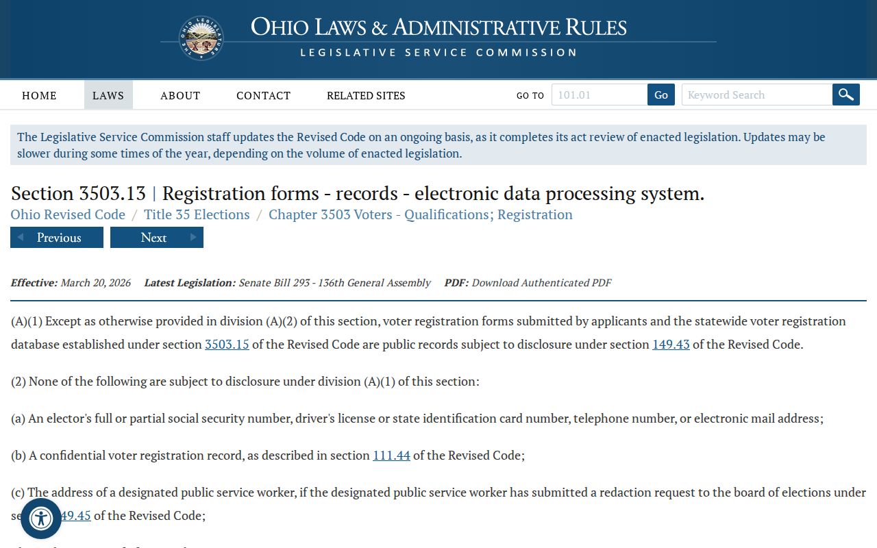
The exclusions apply even when a report offers address order or household grouping. A blank or missing result is not proof that a person left Athens.
The Board of Elections is another access channel when a voter needs help with their own registration or polling information. Its researched office location is 15 S. Court Street, Room 130, Athens, with posted weekday hours of 8 a.m. to 4 p.m. The portal directs a person who believes they are registered but cannot find a result to contact the Board. That instruction is for the voter, not evidence that another person is absent from the block.
Compare Athens Neighbor Sources
Official records and commercial neighbor-search categories answer different questions. An official source identifies the custodian, scope, and statutory limits, then lets a reader keep the parcel, document, or report date with the result. A commercial category may combine public and nonpublic data, but it can be stale, merge people with the same name, omit protected participants, or confuse an owner with a resident. Use the official record trail for personal, lawful research and verify a record with its custodian.
| Official Athens sources | Commercial neighbor-search category |
|---|---|
| Shows a defined parcel, deed party, voter-report setting, map layer, or public notice with a keeper and access path. | May combine records from several sources without a clear current custodian or update date. |
| Lets a reader preserve a parcel number, document number, Book/Page, or report date for confirmation. | Can merge similar names or repeat old address information without proving a current connection. |
| Reflects public-record exclusions and confidentiality rules. | Cannot override an official record’s limits or confirm every person in a household. |
Ohio’s Public Records Act supplies the request fallback for an existing, identified record held by the right office.
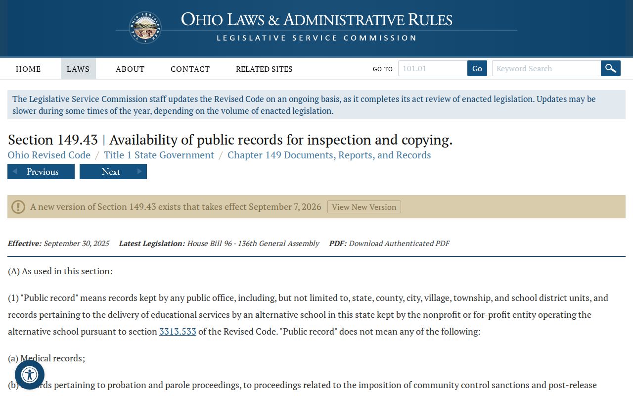
A request can seek an existing record by address, date range, and type. It does not require an office to assemble a new neighbor list or conduct research.
Athens Neighborhood Activity
Public community activity can add useful context to a block, but it is not evidence of membership or residence. Athens City sources document neighborhood-facing meetings, including a Northside Neighborhood Meeting calendar entry, and Community Development material refers to neighborhood-association meetings. Research did not identify an authoritative Citywide association directory or a public member roster. The locally named Westside Community Association should likewise not be treated as a published household list.
| Public community lead | What the source supports | Boundary |
|---|---|---|
| Northside Neighborhood Meeting | A City calendar notice shows a public neighborhood activity example. | It does not identify all attendees, residents, or members. |
| City Community Development | Its public material refers to neighborhood-association meetings. | No Citywide association or contact inventory was verified. |
| Westside Community Association | A locally named community organization. | No official City member-directory status was verified. |
The City’s Northside meeting notice is a concrete example of public neighborhood context.
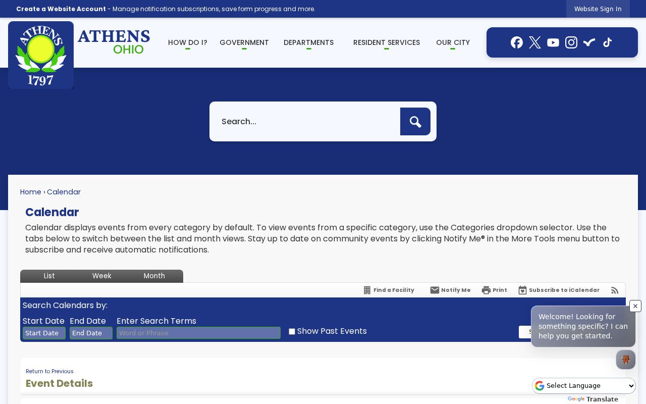
Use public notices to learn about an announced activity, then confirm any contact route directly with the organization or City department. A calendar entry is an event notice, not a source for household membership, private contact information, or present address claims.
Historic Athens Neighbors
A historic block needs dated evidence. Ohio University’s digitized 1927 and 1932 Athens city directories, the Southeast Ohio History Center, Athens County Public Libraries Local History resources, historic tax plats, and Sanborn maps can each add a different piece. A directory line may show a listed adult, address, and occupation for a given year. A map can establish a street, structure, addition, or corner in time. Neither one identifies current Athens neighbors.
The local historical trail is strongest when its order is preserved: dated map or plat, legal description or parcel, recorded instrument, and dated directory or census context. Each item should keep its own date and source label. Athens has verified Sanborn sheets from 1885, 1890, 1895, 1900, 1907, 1914, and 1923, but map context never replaces a person record.
Athens County Public Libraries Local History offers local-history and genealogy resources with staff support, while the Southeast Ohio History Center identifies city and telephone directories, obituaries, newspapers, county court material, surname files, and local histories. These are library and archive channels for dated material. Neither source should be described as a current neighbor-search service or a complete historical roster.
Athens Records Commission provides the City’s public records-retention context.
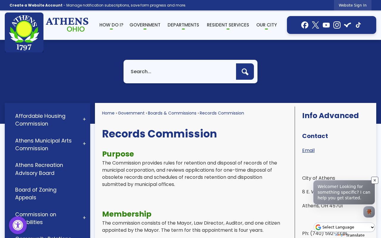
Records-retention oversight does not make every City or historical record a current neighborhood directory; ask the holding office for a named existing file.
Athens Neighbors Privacy Limits
A parcel map may display property context, but it does not reveal visitors, minors, utility customers, delivery information, or everyone at an address. Confidential voter participants, public-service-worker address redactions, protected court material, and personal identifiers have separate limits. The same restraint applies to a recorded owner: a tax or deed role is not a statement about a household’s present occupants.
Ohio’s Safe at Home voter-confidentiality rule removes a participant’s name, residence address, and precinct from public voter materials.
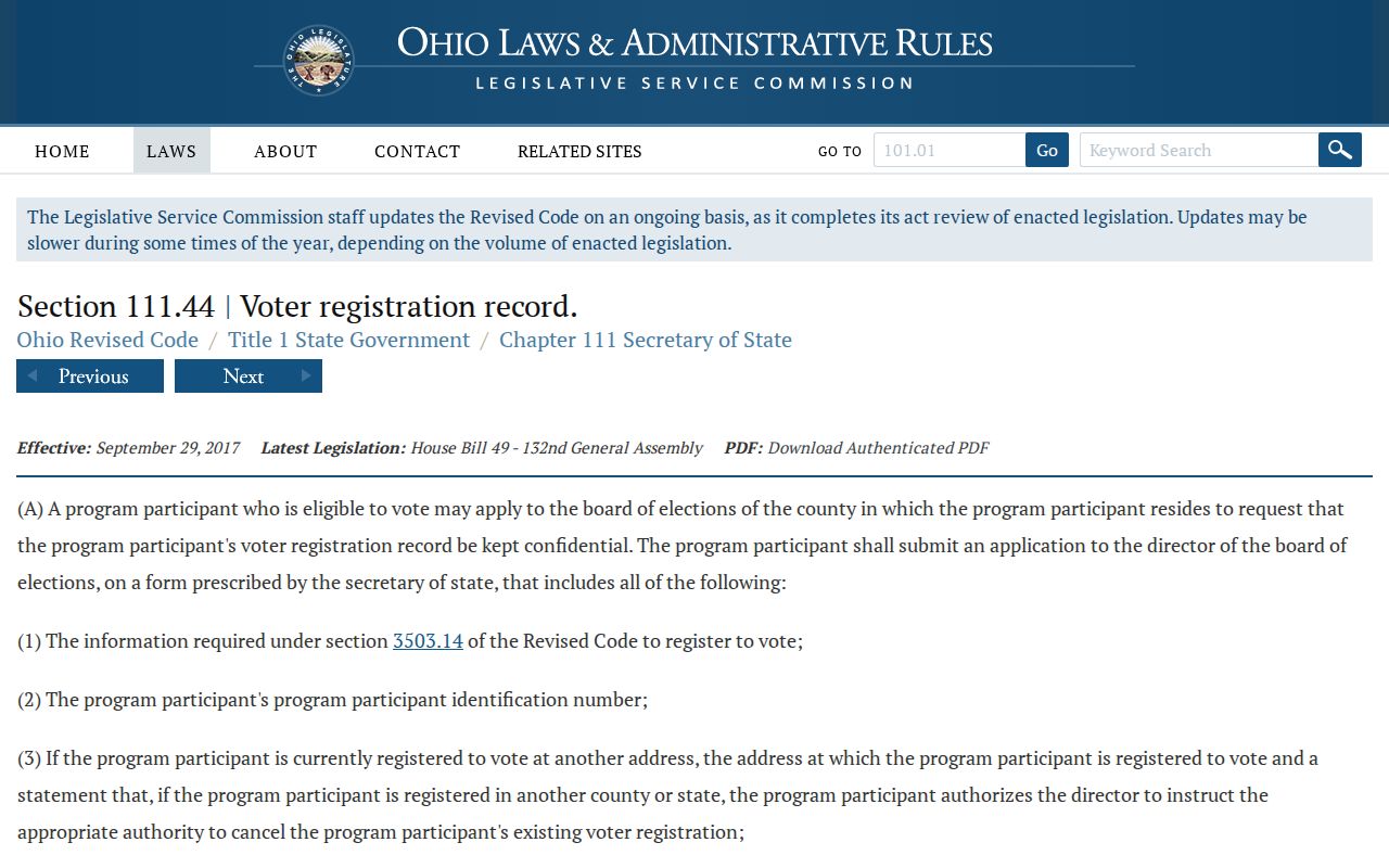
Confidentiality can explain an absent public record. It is not a portal mistake and should never be treated as an invitation to seek the protected information elsewhere.
Ohio also allows certain qualifying public-service workers to request residential and familial-information redactions from public records under ORC 149.45. For a record concern, contact the actual custodian, such as the Board of Elections for voter material, the Recorder or Clerk for the record it holds, or the appropriate City records contact. A general request to remove all public information does not replace those record-specific procedures.
Lawful use. Athens neighbor records are for personal, lawful research, block awareness, and reconnecting. Do not use public material to watch, threaten, harass, or intimidate anyone; Ohio law addresses stalking and telecommunications harassment.
Note: Keep only the parcel, record, or public notice needed for the question, and verify disputed facts with the custodian that holds them.